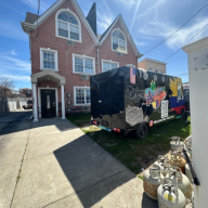
Over the past few years, developers have been knocking down many of Laurelton’s low-scale one- and two-family homes, replacing them with multi-family structures. Laurelton residents complain that these new homes have threatened the character of their neighborhood and brought in more people, which has caused overcrowding and put a strain on Laurelton’s resources.
In response to these complaints, the Department of City Planning began developing a proposal to rezone the neighborhood by reducing residential density in order to prevent a further developers’ onslaught. On September 4, the new zoning was officially approved after a unanimous City Council vote, said City Planning Commissioner Amanda Burden.
The new zoning covers 220 blocks generally bounded by Montefiore Cemetery and 121st Avenue to the north, Laurelton Parkway to the east, South Conduit Avenue and Belt Parkway to the south and Springfield Boulevard to the west.
“I feel like a fighter coming out of one of his biggest fights,” said Councilmember James Sanders, who represents the community and, together with local civic groups, was involved with the rezoning. “We were battling for the soul of Laurelton. The sleazy developers had descended upon our community.” This descent is pronounced to the south of Merrick Boulevard, where under the old zoning, known as R3-2, building multi-family structures was permitted, said Sanders.
It was the time of the housing boom, so developers took advantage of the lax zoning, in place since 1961, by buying one or several adjacent lots, tearing down the one- and two-family homes there and replacing them with multi-family residences, Sanders explained.
The new multi-family homes attracted more residents to Laurelton. “You have more people waiting for the bus, more people crowding into the classrooms, without the accompanying social services,” Sanders said.
Besides causing space scarcity, the overcrowding has also strained the neighborhood’s 70-year-old sewers and other components of its infrastructure, said Richard Hellenbrecht, chairperson of CB 13.
The new zoning, which calls for lower residential density, is intended to prevent more instances of this problem and preserve the original low-scale character of this middle-class bedroom community.
This in effect means that if you tear down a one-family home, you can only replace it with a one-family structure; if you knock down a two-family house, you are only allowed to put a two-family building in its place, Sanders explained.
The new zoning also permits residential construction on Merrick Boulevard, between Springfield Boulevard and 225th Street, a strip which was commercially zoned in the past, information from City Planning reveals. These blocks are now lined with auto repair businesses as well as vacant and underutilized storage spaces; the idea is to replace them in the long run with low-scale residential structures.
Finally, the new zoning stipulates reducing the depth of the commercial overlay district, which has been superimposed onto the residential one to encourage mixed-use growth, along Merrick Boulevard, between 225th Street and Laurelton Parkway. In the past, this overlay allowed commercial structures to go up to 150 feet into the street - now it has been reduced to 100 feet in order to prevent commercial uses from intruding upon residential side streets, according to City Planning.
The type of rezoning implemented in Laurelton - one that is intended to preserve the original appearance of the blocks - was also undertaken in nearby Cambria Heights and Brookville a couple of years ago.
Things to do in Queens

Today, 6 pm

Tomorrow, 8 pm
April 20, all day

April 20, 10 am

April 20, noon

April 20, 1 pm
Latest News
 Serious infections linked to rat urine rising as NYC looks to birth control to control the rodent population
- Headless body found in Queens’ Jamaica Bay was suicide victim: NYPD
 FDNY prevents disaster in East Elmhurst by seizing 68 illegally stored propane tanks
- Sign of the times: Why vacant storefronts continue to plague NYC
 Jamaica Hills senior dies days after his Hillside Avenue assault just blocks from his home: NYPD
Dining & Nightlife
 Check out the 14 food destinations in Queens featured on New York Times ‘100 Best’ list
  Queens Night Market returning with new vendors and more space this month
  New bagel store set to open in Sunnyside next month
 Woodhaven BID gears up for restaurant week extravaganza in April
 Celebrating Queens’ women-owned culinary gems
Entertainment
 Central Queens area to be honored as cleanest large park district by NYC Parks
 Queens’ young musicians set to shine at Carnegie Hall for Clive Davis tribute
 Register early for the LIC Waterfront 5K Run/Walk by Earth Day for discount
 Queens Borough President Donovan Richards delivers ‘State of the Borough’ address, focuses on green energy projects, hydroponics labs and affordable housing
 Spring Festival planned for Bayside’s transformed Dermody Triangle
Police & Fire
- FDNY prevents disaster in East Elmhurst by seizing 68 illegally stored propane tanks
- Jamaica Hills senior dies days after his Hillside Avenue assault just blocks from his home: NYPD
- Turnabout is ‘Fare Play’: NYPD says fare evasion operation led to 175 arrests of armed or drug-carrying suspects in a week
 71-year-old man assaulted while exiting bus in Forest Hills by suspect who remains at large: NYPD
 Flushing Council Member calls for an end to a wave of vandalism at Kissena Park after 300 trees destroyed
Related Articles
 Crunching the Queens crime numbers: grand larcenies down across borough, rapes halved in the north, robberies decrease in the south
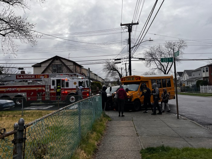 Early morning SUV and school bus collision in Laurelton, no one seriously injured
 Local college student to host vegetable seed distribution event April 20
 Crunching the Queens crime numbers: vehicle thefts rise across borough, burglaries trending down
More from Around New York