Neighborhood ‘Slow Zones’ Arrive In Sunnyside And Woodside
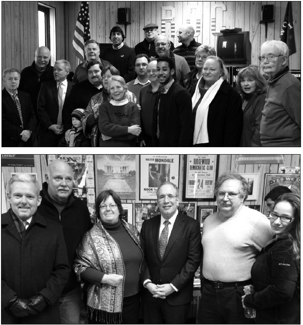
Three new Department of Transportation (DOT) slow zones in western Queens–aimed at reducing reckless driving, speeding and traffic injuries-were unveiled during an announcement City Council Majority Leader Jimmy Van Bramer made on Monday, Nov. 3.
The new zones were implemented in Sunnyside, south of Queens Boulevard, and in Sunnyside Gardens and Woodside, a statement noted.
“Here in the 26th District we are using every tool at our disposal to protect the lives of seniors, children and families,” Van Bramer said. “With the installation of these Neighborhood Slow Zones we will improve the safety of pedestrians, cyclists and motorists who use our neighborhood streets every single day. Slow zones have a proven track record when it comes to lowering the incidents of death and serious injuries on our city’s streets.”
Van Bramer was joined by Queens DOT Commissioner Dalila Hall and Community Board 2 Chairperson Joseph Conley outside of P.S. 199 in Sunnyside to announce the slow zones.
The installation of the slow zones is aimed at reducing reckless driving and speeding, as well as to lessen the amount of crashes, Van Bramer stated.
According to studies, areas with slow zones have reported a 14 percent reduction in crashes with injuries, 31 percent fewer to those in vehicles and a 15 percent reduction in pedestrian deaths, Van Bramer noted.
“The implementation of these slow zones in Sunnyside and Woodside bring us closer to the day when Vision Zero becomes a reality,” he added.
The slow zone locations were selected with community input, and are centered around six schools and daycare centers, it was noted. They also run along several residential streets and commercial corridors, according to Van Bramer.
The parameters of the slow zone in Sunnyside Gardens and Woodside are: Queens Boulevard and Roosevelt Avenue as the southern border; with its western boundary as 43rd Street; its eastern boundary 58th Street; and northern boundary 38th Avenue and Barnett avenues, it was noted.
The boundaries for the western slow zone located in Sunnyside south of Queens Boulevard are: Greenpoint Avenue as the southern boundary; the eastern boundary is 43rd Street; the western boundary is 36th Street; and the northern boundary is Queens Boulevard, according to Van Bramer
The eastern slow zone, located in Sunnyside south of Queens Boulevard, has 51st Avenue as the southern boundary; 38th Street as its western boundary; 50th Street as its eastern boundary; and Greenpoint Avenue as its northern boundary.
With community input, the DOT evaluated where to place the new zones based on a location’s crash history, local support, and proximity to schools and other civic centers like daycare and community centers, it was noted.
The slow zones are marked off with high-visibility blue signs, noting the 20 mph speed limit. They also include speed bumps, and road markings that read 20 mph in eight-foot high lettering, according to Van Bramer.
Slow zones have helped decrease traffic-related fatalities to their lowest recored levels after installation began in 2011, Van Bramer claimed.
“On behalf of the NYC DOT, I am proud to stand alongside Council Member Van Bramer and the local community to officially kickoff the Sunnyside Neighborhood Slow Zone,” Hall said. “More gateway signs will follow this first set, along with markings and speed bumps. All together, they will help create even safer streets for New Yorkers of every age in this neighborhood, and especially for our seniors and school children.”
