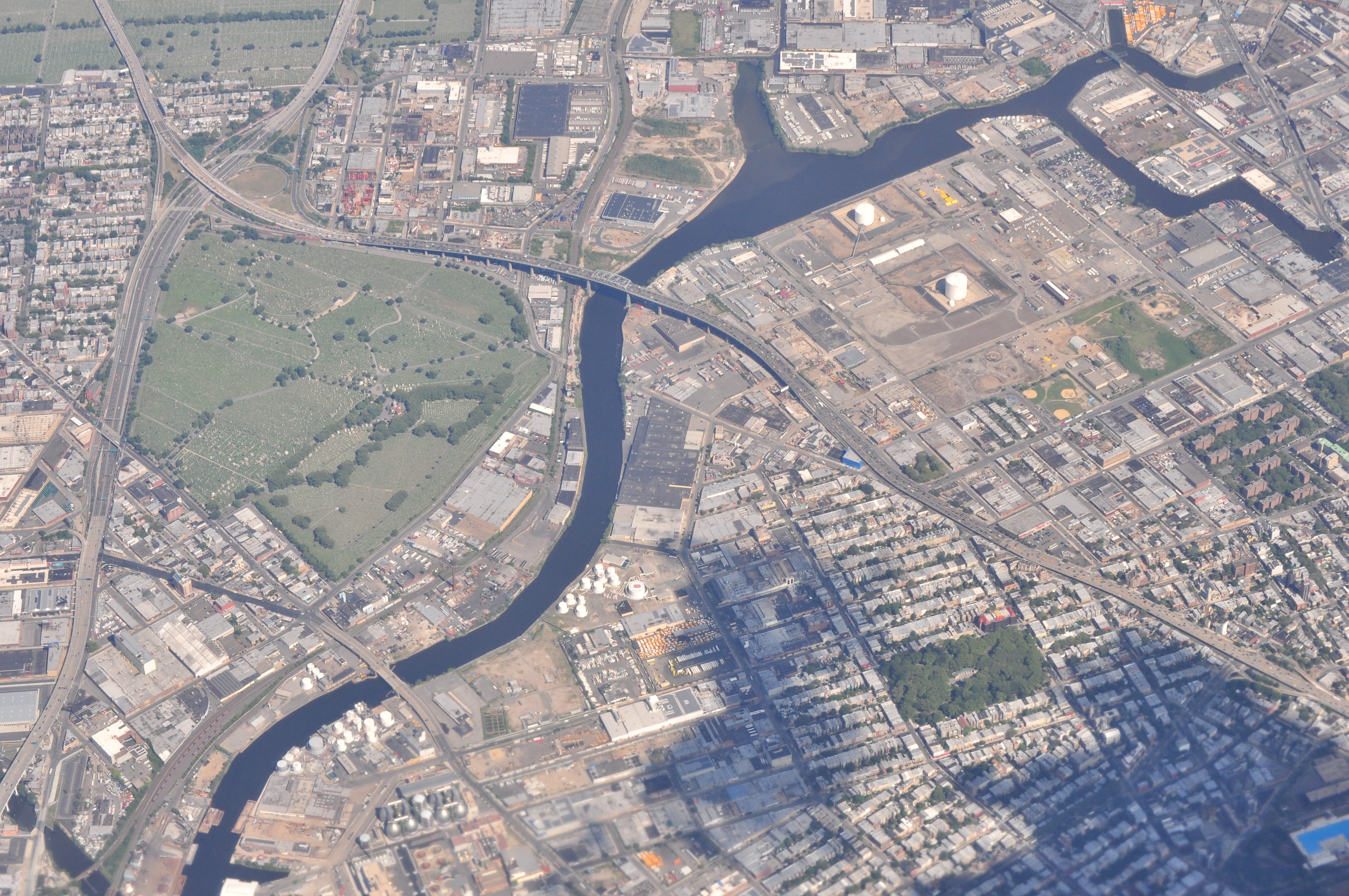
Few waterways were as important to the development of Queens and Brooklyn as the Newtown Creek — the 3.2-mile tributary that’s more known these days as a heavily polluted Superfund site.
It was named for the town of Newtown, one of the first colonial settlements in Queens. From the mid-1600s to the mid-1800s, it was a bucolic waterway surrounded by farmland. The boats that traversed it were largely ferries shipping farmers’ goods to marketplaces in Manhattan.
According to the Environmental Protection Agency, the colonial creek and its tributaries — including Whale Creek, Dutch Kills, Maspeth Creek and English Kills — “drained the uplands of western Long Island and flowed through wetlands and marshes.” It had its own ecosystem and was known for shellfish growth; Mussel Island, an island that once existed where the Newtown and Maspeth creeks met, was so named to reflect the kind of shellfish found there.
The American Industrial Revolution in the 19th century, however, marked a reversal of fortune for the Newtown Creek. According to the Newtown Creek Alliance, the nation’s first kerosene refinery opened on the creek’s banks in 1854 — followed 13 years later by the opening of the nation’s first oil refinery. These were among the first of the more than 50 chemical refineries that opened up on the creek’s shoreline in the years to come.
The Standard Oil Company — which began as the Astral Oil Company in 1880 — had, by the end of the 20th century, more than 100 distilleries on both sides of the Newtown Creek. These distilleries were dumping more than 30,000 gallons of chemical-laden byproducts into the creek every week, the Newtown Creek Alliance noted.
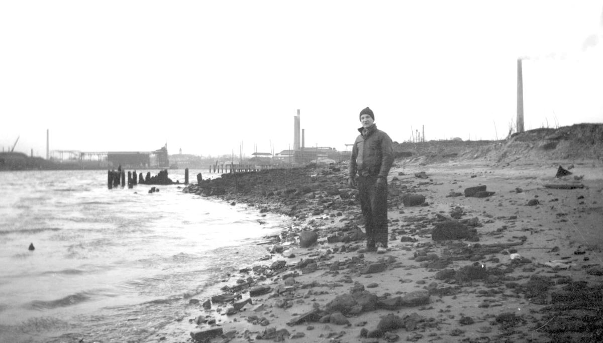
At the time, industries thought nothing of dumping their waste into the Newtown Creek. Now the main artery feeding an industrial community, there was little concern about the potential harm done to the environment, nor the potential health hazards from exposure to chemicals.
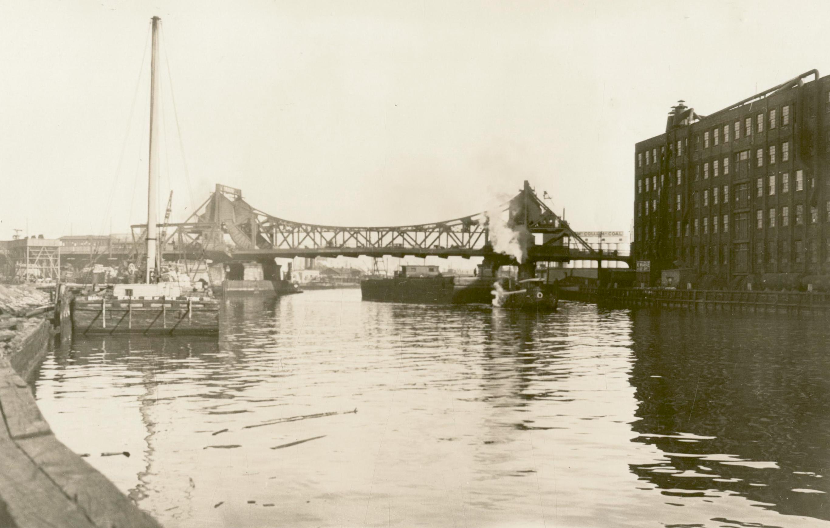
Heavy industry grew along the creek in the ensuing decades, and during the 1920s and 1930s, the Newtown Creek was dredged and widened to accommodate bigger barges. By then, all kinds of industrial businesses lined the shores. Sugar refineries, hide tanners, canneries, copper wiring producers and even soap makers joined the refineries and oil storage facilities that employed thousands of people, but at a major ecological cost that wouldn’t be realized for decades.
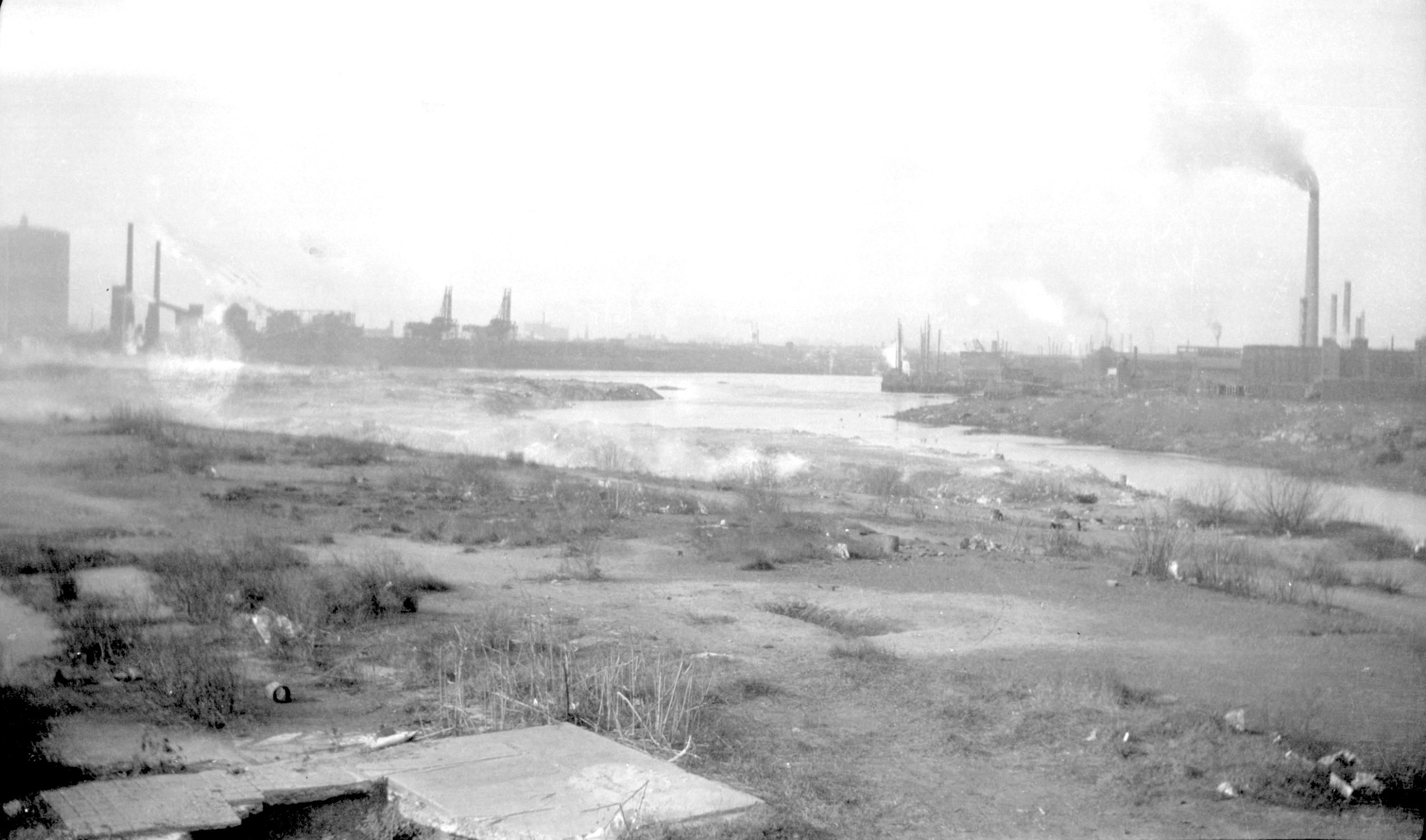
Its wetlands and marshes wiped out, its estuaries sealed off as the industrial development went on, Newtown Creek had been reduced to a single-source waterway. The East River is the only way for water to flow in and out — and, for decades, it, too had its pollution problems.
With water unable to circulate, the pollution in the creek accumulated, dropping the oxygen levels to zero for much of the 20th century. This made the Newtown Creek next to impossible to maintain aquatic life.
And yet, the situation was even bleaker.
The city’s sewer system included combined sewer overflow points along the creek. Raw sewage and wastewater was dumped into the creek whenever the water treatment plants hit capacity during heavy rain events.
The toxic cocktail of human and industrial waste left the Newtown Creek in a truly foul state. One didn’t need to see the oil slicks and other filth on the surface to know it was polluted; you could smell it, too, sometimes from many blocks away.
It was particularly bad in the summer. The Old Timer can remember the overpowering smell — what could be best described as rotten eggs left to sit in a heated bath of turpentine — whenever taking a drive over the Greenpoint Avenue or Metropolitan Avenue bridges, which span the creek, to visit relatives in Brooklyn.
Then, in 1978, a Coast Guard crew on a helicopter flyover spotted oil pouring out of a bulkhead on the Brooklyn side of the creek. An investigation of that leak led to the discovery of the Greenpoint Oil Spill. The result of an underground explosion at a Standard Oil refinery in the 1950s, investigators determined that more than 17 million gallons of petroleum — more than twice the amount of crude oil that spilled from the Exxon Valdez in Alaska in 1989 — formed a giant plume beneath the streets of Greenpoint, Brooklyn.
The discovery seemed to mark a tipping point in the Newtown Creek’s life. In a more environmentally conscious era, residents in Brooklyn and Queens — along with elected officials in city, state and federal government — decided that the time had come to do something.
The environmental group Riverkeeper, in conjunction with New York State, filed lawsuits against ExxonMobil — the inheritors of the former Standard Oil Company — seeking restitution for efforts to clean the massive oil spill and other pollution in the creek.
In 2010, at the behest of local officials including Congresswoman Nydia Velazquez, the EPA declared the Newtown Creek a Superfund site, making it eligible for federal funds toward cleanup efforts. Plans for a full creek cleanup are still in the development stages, and the reality is that it may take a few more decades before those efforts are fully realized.
Even so, the Newtown Creek Alliance notes that the cleanup efforts already made in recent years have helped turn the tide. It notes on its website that “life is returning to the creek. You can find blue crabs at the mouth, fish swim in its waters, and waterfowl are prevalent. Wetland plants are taking over the abandoned bulkheads and sediment piles and school children are growing oysters, which serve as natural water filters.”
Sources: Newtown Creek Alliance, Environmental Protection Agency, New York magazine, Untapped Cities and Forgotten New York.
* * *
Share your history with us by emailing editorial@ridgewoodtimes.com (subject: Our Neighborhood: The Way it Was) or write to The Old Timer, ℅ Ridgewood Times, 38-15 Bell Blvd., Bayside, NY 11361. Any mailed pictures will be carefully returned to you upon request.