While schools were closed throughout the city in preparation for some severe winter weather, Sunday night’s snowstorm turned out to be a dud.
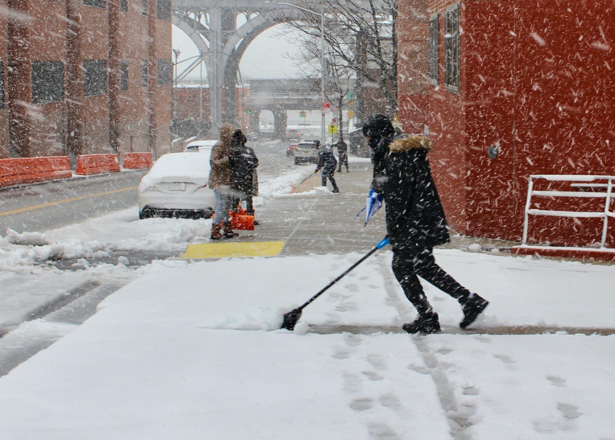
With temperatures currently in the high 30s, a lot of the snow has turned into slush. However, in the thick of the storm, Queens saw some decent heights in the middle of the night.
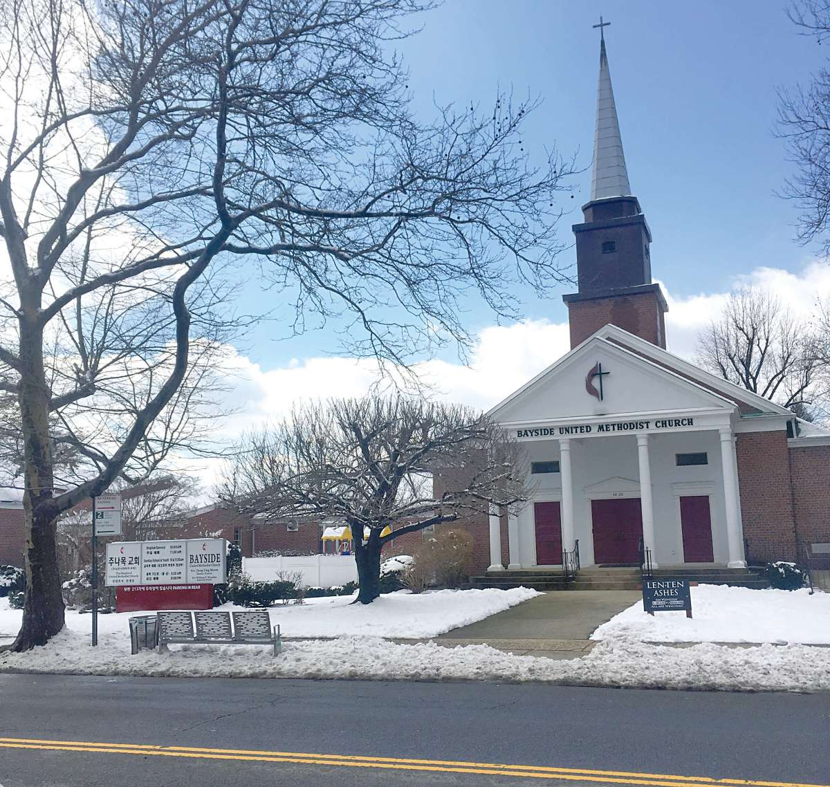
According to the National Weather Service, Bayside had the highest measured amount of snow in Queens throughout the course of Sunday night’s snowfall, measuring 7.1 inches as of 4:20 a.m. Whitestone came in at the second highest amount of snow, measuring 4.5 inches as of 1 a.m.
As of 7 a.m., however, Whitestone had a recorded 4 inches of snowfall. Following behind Whitestone was Ozone Park, which measured 3 inches of snowfall as of 7 a.m.
As of 7:26 a.m. LaGuardia Airport and JFK Airport each saw 4.8 inches and 2.2 inches of snow, respectively. Rounding out the bottom of the list was Rego Park with 2.5 inches of snow as of 1:20 a.m. and Jamaica with 2 inches of snow as of 2:30 a.m.
The warmer temperatures may be melting the snowfall, but colder air is expected to move into the area later today. Forecasts have high temperatures not exceeding the freezing point (32 degrees) by Wednesday, March 6.
Click here to see a full rundown of the snowfall in nearby New York counties.

