Here we ‘snow’ again.
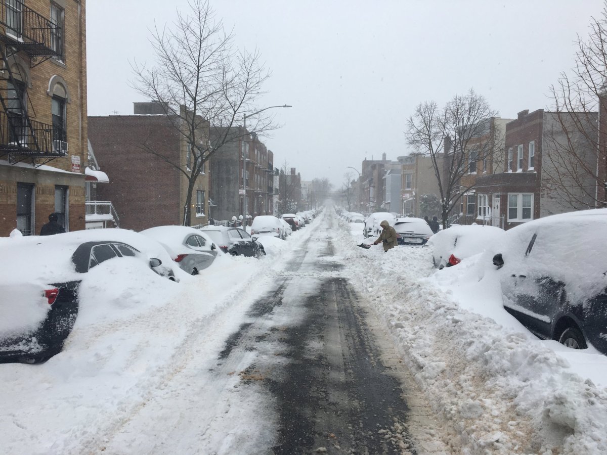
The five boroughs of New York City are under a winter storm watch from late Sunday night through Monday as a nor’easter is forecast to dump up to a foot of snow, according to the National Weather Service.
The forecast calls for snow to begin developing late on Jan. 31 and continue into Monday, with the heaviest snow expected during the day and early evening on Feb. 1. Snow showers may also occur into Tuesday, after the brunt of the storm has left the area.
Snowfall rates could reach between 1 and 2 inches per hour, in some spots, on Monday, with blizzard-like conditions expected at times. It’ll also be bitterly cold, with temperatures not expected to get above the low 30s.
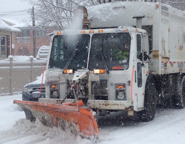
Much of the tri-state area could see between 6 and 12 inches of snow, the National Weather Service reports, with some lighter amounts expected near the coast. Strong winds of between 20 and 30 mph are also expected, along with some minor coastal flooding, particularly in southeast Queens during high tide Monday.
It’s expected to be the second major snowstorm to hit New York City this winter. The most recent one, on Dec. 17, dropped close to a foot of the white stuff citywide.