One unique distinction between Queens and the other boroughs of New York City is the importance of a neighborhood to each resident.
Here in Queens, if we’re talking to someone from outside the borough, we generally don’t say that we’re from Queens; instead, we’re from Ridgewood, or Bayside, or Jackson Heights, or Jamaica, or any of the other dozens of neighborhoods that we call home. Our unique attachment to the communities we live in dates back generations and gives many of us a “small town feel” in the big city.
For the most part, the current ZIP code map for Queens generally reflects and respects the boundaries of each distinct neighborhood, though there are a few exceptions. One of them happens to be Ridgewood and Glendale — two rather distinct neighborhoods that have shared the same 11385 ZIP code for about 40 years.
Turn the clock back even further to 1963 — when the U.S. Postal Service established the ZIP code system — and you’ll find that Ridgewood and Glendale shared the same code that wasn’t even based in Queens itself. In fact, the 11227 ZIP code they shared was based not out of Flushing (like other northern Queens neighborhoods) but rather in Brooklyn.
Today, that difference might not seem that important — but to Ridgewood and Glendale residents in the 1970s, that association with Brooklyn proved consequential in two key areas.
Regression, redlining and rates
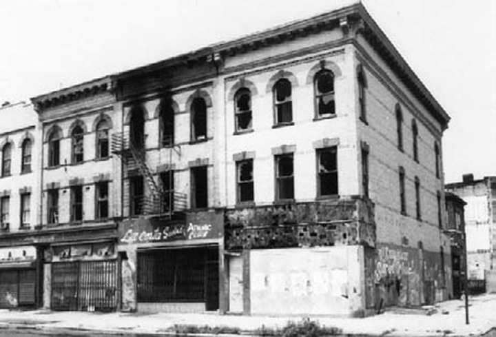
First, Bushwick, Brooklyn — located right next door to Ridgewood — fell into rapid decline. The housing stock devalued as middle class residents moved out.
Redlining — the racist practice of financial institutions declining loans and other services to areas of color — destroyed property values to the point where landlords couldn’t make enough money renting out apartments in the neighborhood.
It also came with a side effect that Ridgewood and Glendale residents felt directly: higher insurance premiums to safeguard against damage to their homes and vehicles. That’s because premium rates, at the time, were set based on the policyholders’ ZIP codes.
With Bushwick falling into the abyss of high crime and arson— especially in the wake of the fires and looting that erupted during the July 1977 blackout — many Ridgewood and Glendale residents demanded a change away from Brooklyn and toward Queens.
Many of the more than 38,000 residents of Ridgewood and Glendale began urging the U.S. Post Office to give them a Queens-based ZIP code.
Ferraro takes up the fight
In February 1979, the Daily News reported, Postmaster General William Bolger met with the neighborhoods’ freshman Congresswoman, Geraldine Ferraro, and made a promise: If she could produce evidence showing that 70% of the neighborhoods desired a Queens ZIP code, he would make it happen.
Ferraro, a former prosecutor, knew how to build a case — and she set out to hold Bolger to his promise. Her staff mobilized to create and launch a postcard campaign to Ridgewood and Glendale residents seeking their support for a new ZIP code.
She sought and received the aid of local groups such as the Glendale Chamber of Commerce and the Kiwanis Club of Glendale to make the campaign a success.
“In this case, the problem is a ZIP code arbitrarily assigned by a bureaucratic process which did not take into consideration the needs of the community,” Ferraro told the Daily News.
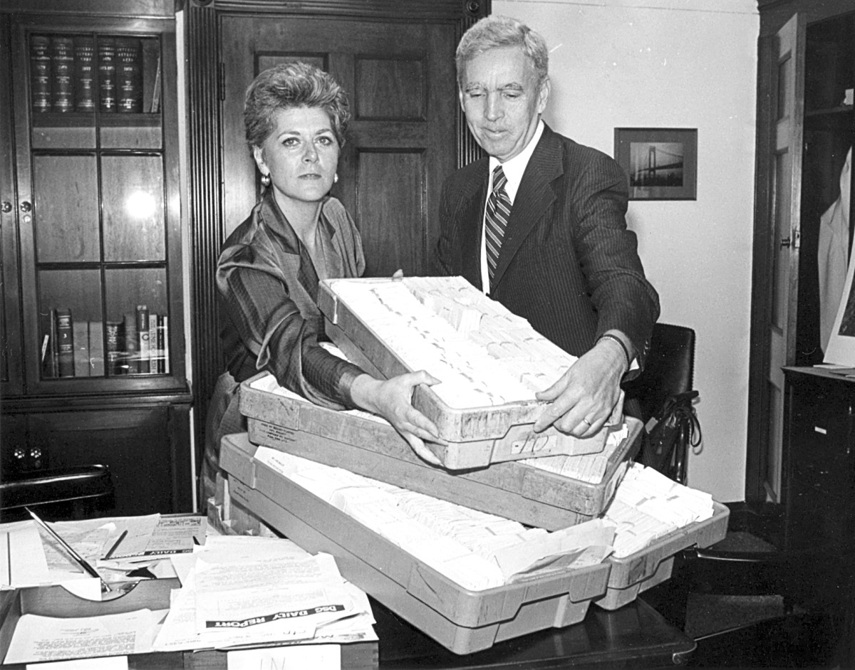
Then, in June 1979, the Ridgewood Times ran a photo showing just how successful the effort proved to be.
Congresswoman Ferraro helped deliver thousands and thousands of postcards directly to Postmaster Bolger showing the neighborhoods’ desire for a new ZIP. Not long thereafter, Ridgewood and Glendale residents got their wish.
In 1982, the U.S. Postal Service created the 11385 to cover Ridgewood and Glendale, dissolving the 11227 ZIP code in its entirety. Bushwick was assigned two ZIP codes: 11237 (which includes the Wyckoff Heights area straddling the Ridgewood/Bushwick order in Brooklyn) and 11221.
The ZIP code change was just one of many accomplishments that propelled Ferraro into a star within the Democratic Party. In 1984, Democrats nominated her for vice president on a ticket with the party’s presidential nominee, former Vice President Walter Mondale. Ferraro became the first woman in U.S. history to be nominated to a presidential ticket of a major party.
Though Ferraro shattered a glass ceiling in national politics, the Mondale/Ferraro ticket wound up being trounced in the 1984 presidential election by the incumbents, President Ronald Reagan and Vice President George H.W. Bush.
Glendale looks for its own
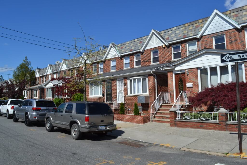
As for Ridgewood and Glendale, neighbors were satisfied with the new Queens-based ZIP code — but over the last decade, Glendale residents have made an effort to give their community its own postal identity.
This new ZIP code quest, however, wasn’t borne out of a crisis but rather needs created with the rise of the internet and e-commerce.
Starting around the late 2000s, Glendale residents began pointing out that electronic shipping programs used by online merchants and companies did not recognize the neighborhood within the 11385 ZIP code. Ridgewood and Flushing were listed as communities based within that area.
This, many residents said, led to confusion among shipping outlets that unnecessarily delayed shipments, including prescription medication.
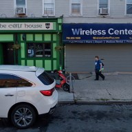
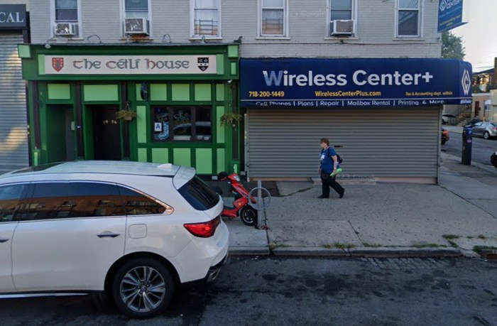
Another complaint that arose within the push for a Glendale ZIP was the lack of an available post office in the community. While the area is serviced by a small postal station, 69-36 Myrtle Ave., some packages for Glendale residents were being shipped directly to the Ridgewood post office at 60-60 Myrtle Ave., causing further inconvenience for recipients.
Through the efforts of local lawmakers such as Assemblyman Mike Miller and then-Congressman Robert Turner, as well as groups such as the Glendale Property Owners Association, the area got some assistance in 2011.
That year, the U.S. Postal Service agreed to provide Glendale “preferred last line” status and recognition in the 11385 ZIP code. This would help solve the problem of neighborhood recognition in shipping programs and GPS devices used by delivery truck drivers.
Still, the postal service rebuffed requests for a separate ZIP code over what were called “operational factors.”
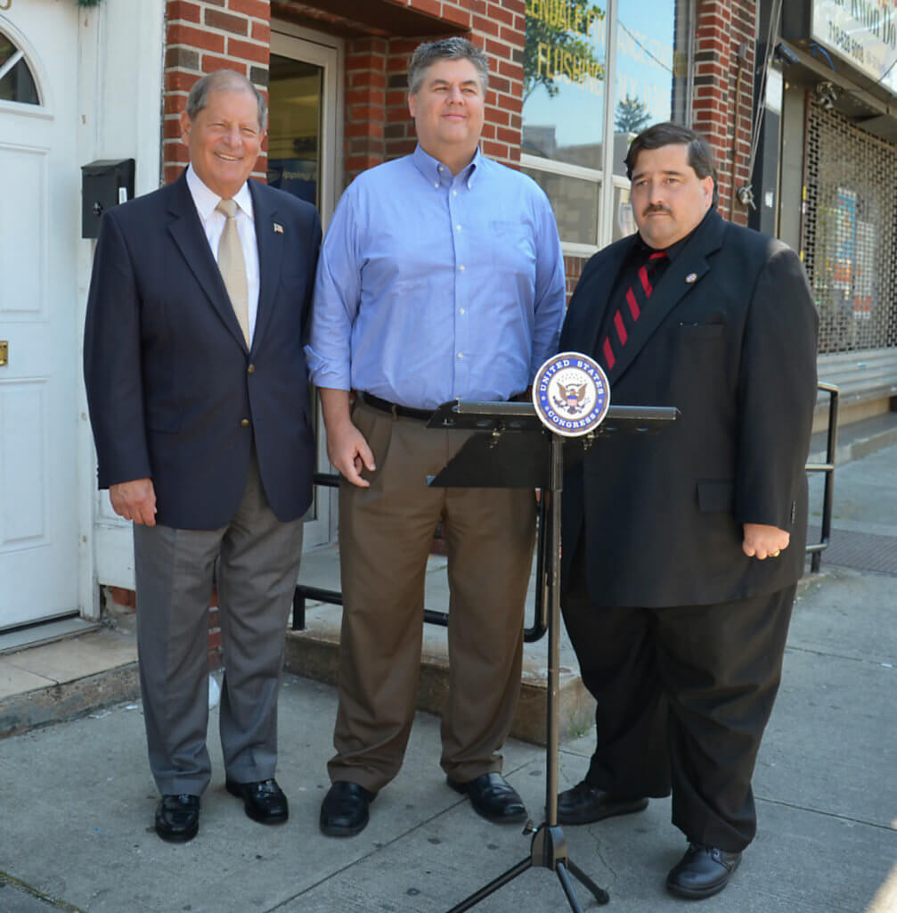
Congresswoman Grace Meng, who began representing the Glendale area after her election in 2012, picked up the mantle for the Glendale ZIP code fight. She was able to have Glendale included in bills creating new ZIP codes across the United States that had passed the House of Representatives in recent sessions.
However, those bills never got a final vote in the Senate, and thus expired due to sunset provisions. Alas, Glendale still remains attached to Ridgewood in the 11385 ZIP code.
Who would get the new ZIP?
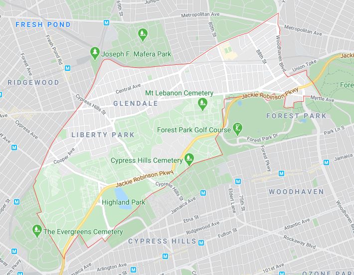
If Glendale ever won its own ZIP code, what would its boundaries be? We believe it would follow the neighborhood’s current unofficial boundary lines, as recognized by the Ridgewood Times for years.
The Glendale area, according to the paper’s analysis, is bounded on the west by the Long Island Rail Road Bay Ridge branch (between the Fresh Pond Rail Yard and the Brooklyn/Queens border at Irving Avenue); on the north by the LIRR Montauk Branch (between the Fresh Pond Rail Yard and Cooper Avenue) and Cooper Avenue (between the Montauk Branch and Woodhaven Boulevard); on the east by Woodhaven Boulevard (to Metropolitan Avenue), Metropolitan Avenue (to the abandoned LIRR Rockaway Beach Branch near Trotting Course Lane); and the LIRR Rockaway Beach Branch (to Myrtle Avenue and Forest Park); and on the south by Forest Park, Mount Hebron Cemetery, Cypress Hills Cemetery, Salem Field Cemetery and Highland Park.
Sources: Ridgewood Times archives, Bushwick Daily and the Feb. 21, 1979 New York Daily News.
* * *
If you have any remembrances or old photographs of “Our Neighborhood: The Way It Was” that you would like to share with our readers, please write to the Old Timer, c/o Ridgewood Times, 38-15 Bell Blvd., Bayside, NY 11361, or send an email to editorial@ridgewoodtimes.com. Any print photographs mailed to us will be carefully returned to you upon request.