New Flood Maps To Alter Building Plots
Days after the Federal Emergency Management Agency (FEMA) released new maps which expanded the flood zones of New York City in the aftermath of Hurricane Sandy, the city announced last Thursday, Jan. 31, several measures which will affect how residents in storm-ravaged areas rebuild their homes.

Mayor Michael Bloomberg signed an executive order suspending height restrictions in flood zones such as Howard Beach, Broad Channel and the Rockaways in order for property owners to flood-proof their buildings according to standards set in the revised FEMA maps.
The city also altered flood proofing requirements established in its building code in 1983 for “flood hazard areas” of the city, as declared by FEMA. Under the new rules, those constructing new buildings or rebuilding significantly damaged structures in the flood hazard areas must elevate their structures by at least one foot above FEMA’s base flood elevation in the area.
Not only will these changes help protect buildings in coastal areas of the city from suffering the same kind of damage in future weather events, but it will also help reduce monthly flood insurance premiums for property owners, according to Bloomberg.
“As a coastal city, our geography has required us to take extra precautions to protect homes and businesses from the risks that come with being close to the ocean, and climate change is increasing and accelerating those risks,” Bloomberg said. “We are beginning the process of updating our building code and zoning regulations so that new construction meets standards that reflect the best available data about flood and climate risks.”
“Homeowners need to be able to rebuild to sound flood protection standards without facing conflicts with current zoning regulations,” added City Planning Commissioner Amanda Burden. “This limited and targeted suspension of zoning regulations in the flood zones shown on the newly-issued FEMA flood risk maps will help ensure that new and rebuilt homes and businesses and other buildings will be safeguarded from coastal flood waters.”
“These critical changes to the building code and zoning resolution will allow thousands of New Yorkers to rebuild the same home they had prior to Hurricane Sandy, only much more resistant to flood damage,” said Buildings Commissioner Robert Li- Mandri.
The maps changes made by FEMA reportedly added about 35,000 buildings across the five borand oughs of New York City and Westchester County to areas considered by the agency to be at high risk of flooding in weather events such as hurricanes and strong nor’easters. More areas of the city may be added to the high-risk zone in a second set of revised maps which FEMA is expected to publish later this month.
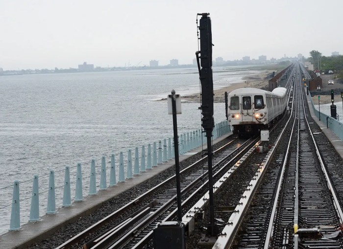
When Hurricane Sandy struck the Northeast U.S. between Oct. 29-30, 2012, coastal areas of the city experienced a storm surge of between 10 and 15 feet, with areas of the Rockaways and Staten Island taking the hardest hit. The superstorm even affected more interior areas of the city-such as Howard Beach and Brooklyn’s Gerritsen Beach-which had not been considered to be at high risk of major flooding.
The executive order signed by bloomberg will allow owners of existing buildings in the flood zones- including those built before the flood proofing requirements established in 1983-to be reconstructed or retrofitted to meet the new elevations. This can be accomplished through the construction of higher foundations or stilts.
Some critics, however, have charged that the requirements place a huge financial burden on property owners who suffered staggering losses as a result of Hurricane Sandy.
Many areas of the flood zone had zoning regulations which limited the height of buildings. The executive order suspends those zoning requirements in order for those who own homes which were destroyed or severely damaged by the hurricane to rebuild according to the new base flood elevation requirements.
Bloomberg noted that the Department of City Planning will pursue permanent zoning changes in the flood zones later this year through rezoning under the standard uniform land use review process.
Increasing the base height of each structure in the flood zones stands to reduce monthly flood insurance premiums for property owners, the mayor indicated. This could prove critical since FEMA will soon end subsidized premiums, and liabilities could skyrocket for certain property owners in high-risk areas.
For every foot a building is raised above the base flood elevation, it was noted, monthly flood insurance premiums may be reduced by several hundred dollars.
For more information or to view the revised FEMA flood zone maps, visit www.region2coastal.com.