By Joe Anuta
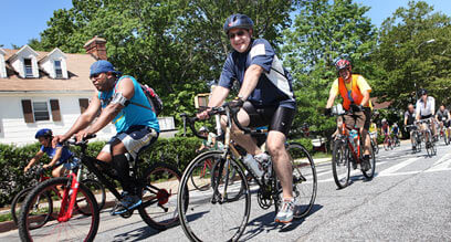
Biking in Queens offers something for every person. The health-conscious, the practical and the adventurous will all find what they are looking for on the streets of the city’s most expansive borough.
About half a million New Yorkers cycle, according to the city Department of Health, and two-wheeled treks are on the rise.
The number of residents who pedaled to work doubled between 2007 and 2011, according to the city Department of Transportation, which is hoping that number will triple by 2017. At the same time, the cycling risk indicator — a number crunched by DOT that estimates how likely a city cyclist is at risk for a serious injury — has plummeted by 73 percent from 2000-11.
Various studies and maps show bike lane construction in Queens has lagged behind Manhattan and Brooklyn over the last decade, which means where you want to go largely determines whether you’re in for the ride of your life or otherwise.
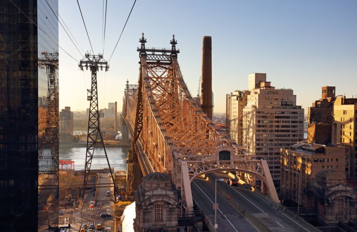
For instance, the western waterfront is served by a lengthy and often scenic lane that runs through Astoria Park and continues down Vernon Boulevard. Vernon is not the most evenly paved and pot-hole-free thoroughfare in Queens, but it provides a crucial link from Astoria to Long Island City. It also connects Queens to Manhattan via the Queensboro Bridge and to Brooklyn via the Pulaski Bridge.
Along the way are some of Queens’ best cultural attractions. Socrates Sculpture Park and the Noguchi Museum lie directly off the bike path, as do seven of the borough’s waterfront parks. The path then cuts through the heart of Long Island City’s burgeoning bar, restaurant and cultural scene and passes near the Museum of Modern Art’s PS1. Lanes running through Sunnyside connect to this artery.
Most of the borough’s interior major parks are also connected by continuous, albeit often circuitous routes. A cyclist can ride from Flushing Meadows Corona Park to several surrounding greenspaces like Forest and Cunningham parks via marked bike lanes.
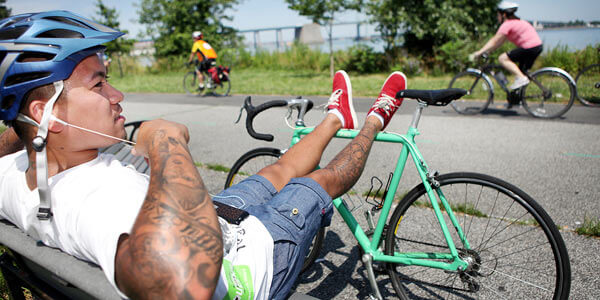
Elsewhere, a breezy seaside greenway runs along the eastern edge of Bayside.
It is eventually supposed to circumnavigate the entire borough, connecting the Bayside coast to the Vernon Avenue stretch across northern Queens, and running from Bayside south connecting to the Rockaways. This plan was outlined in the 1997 document called the New York City Bicycle Master Plan, which 16 years later shows one of the problems the city seems to still be struggling with in Queens: connecting all the bike lanes into a coherent network.
Part of the greenway runs along the Flushing Marina, but trying to find one’s way to the Asian food mecca itself puts a cyclist directly into Willets Point, where giant dump trucks rumble.
The isolated bike lanes of Queens are a far cry from the extensive networks in Manhattan and Brooklyn, but according to Helen Ho, co-founder of the nonprofit the Biking Public Project, the city is likely rolling out lanes where support is strongest first in order to encourage more riders.
“I think they are going after the lowest-hanging fruit right now,” she said. “But that doesn’t mean that the rest of us should be neglected also.”
Ho hopes the city will continue introducing bike lane designations further east into Queens — although local governing bodies in those areas are often hostile to the idea — and believes DOT’s bike sharing program will help promote the activity in Queens.
Long Island City is set to get a few of the blue, pay-per-use cycles this September, which may not only contribute to economic activity in that part of the borough, but also spur the city to construct new protected pathways to make cycling safer in more places in Queens.
Reach reporter Joe Anuta by e-mail at januta@cnglocal.com or by phone at 718-260-4566.

