If the Gowanus Canal can be considered “Brooklyn’s nautical purgatory” (as our sister publication, The Brooklyn Paper, likes to call it), then the Newtown Creek serves as the aquatic abyss for two boroughs.
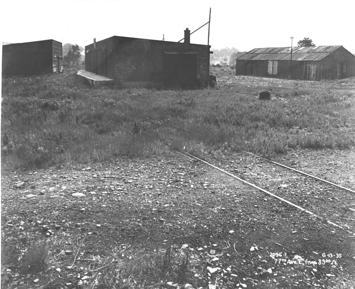
Running largely through an industrial wasteland lined with factories, oil tank farms and a sewage treatment plant, the Newtown Creek has been a commercial link for ships around the world for nearly two centuries. It is heavily polluted — the EPA declared it a Superfund site a decade ago — and it figures that efforts to clean it up, while ongoing, will take many years, if not decades, to complete.
The Newtown Creek serves as the dividing line between most of northern Brooklyn and western Queens, with four bridges spanning its polluted waters to connect residents and businesses on both sides. Over the next three weeks, we will tell you some of the history of these all-important bridges — including the tales of spans that no longer exist.
We’ll start this week near the creek’s confluence with the East River, at the point where the tributary separates Hunters Point in Long Island City with Greenpoint, Brooklyn.
Out with the old … in 1954
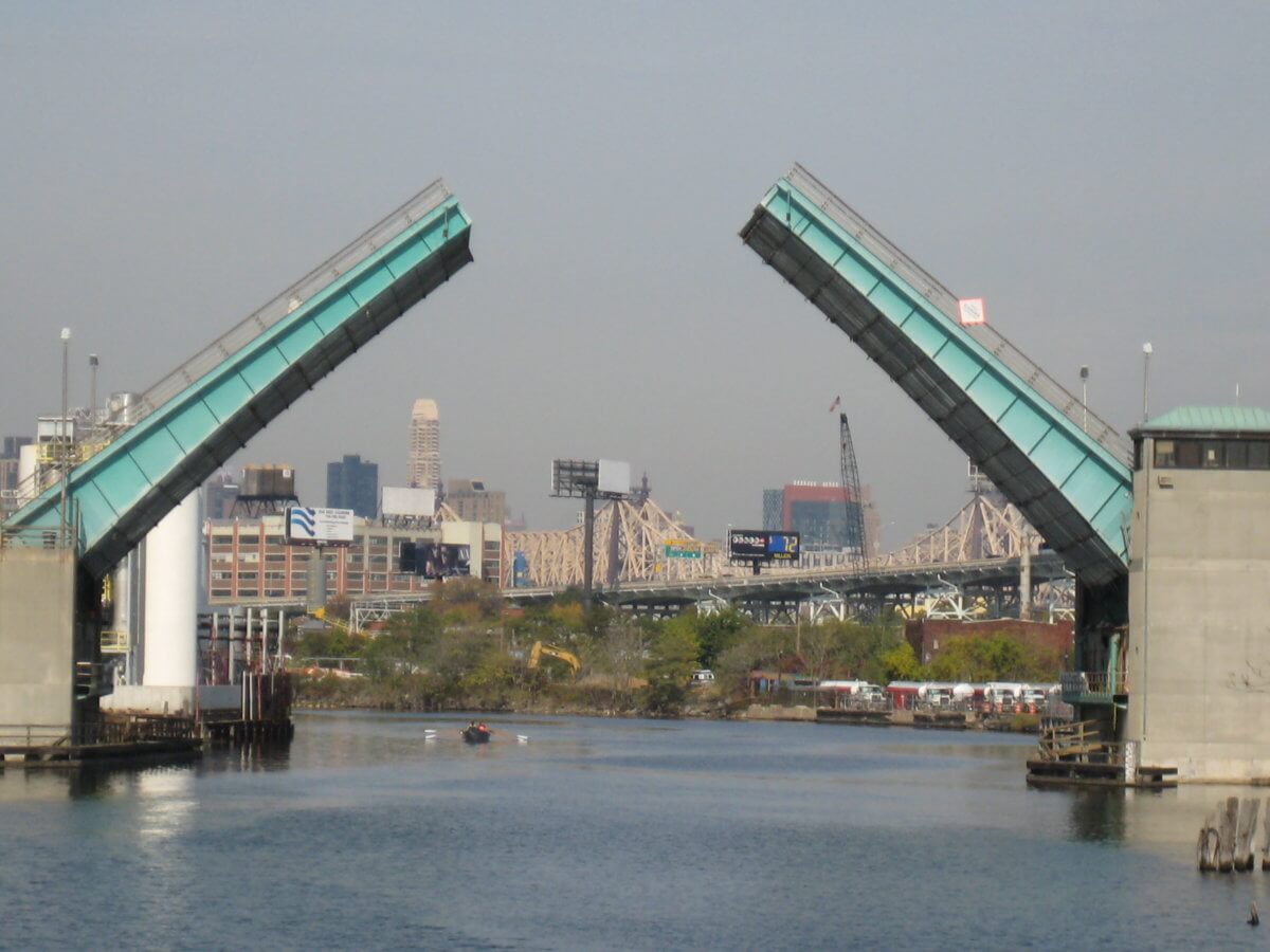
The main crossing there, since 1954, has been the Pulaski Bridge — the burgundy-painted drawbridge connecting 11th Street in Long Island City with McGuinness Boulevard in Greenpoint.
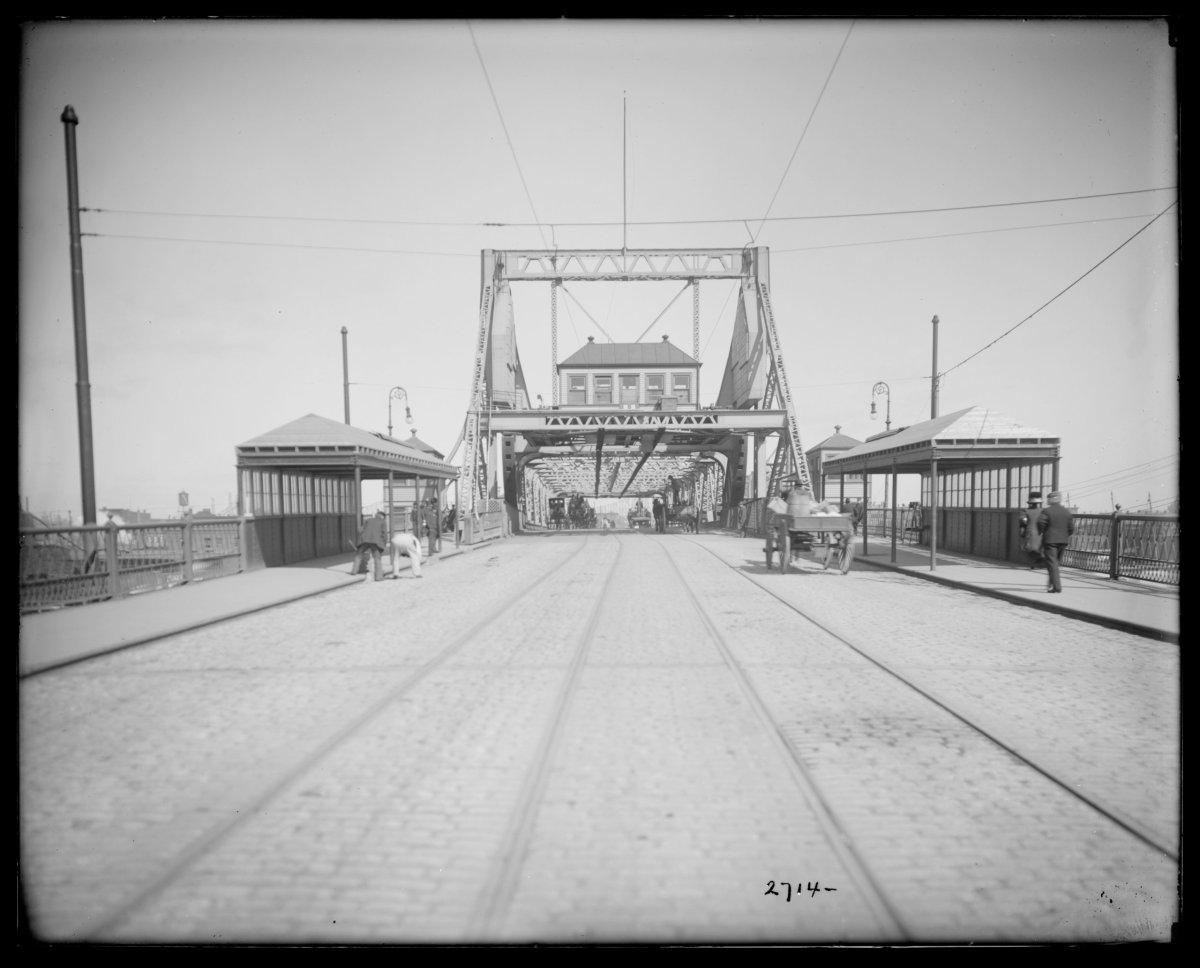
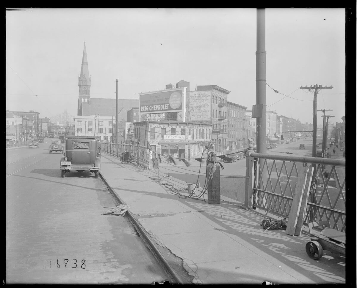
The span opened to traffic on Sept. 10, 1954. Just three hours later that same day, about two blocks to the west of the Pulaski Bridge, the city closed the Vernon Avenue Bridge. Within a few months, that span — which stood more than 62 years — was gone.
The Vernon Avenue span, once upon a time, connected Greenpoint’s Manhattan Avenue with Long Island City’s Vernon Boulevard. It also runs directly above the Greenpoint Tube, the underground subway tunnel that carries the G train between Brooklyn and Queens — the only subway crossing within the creek.
The bridge’s name reflected the original name of Vernon Boulevard from the days before Long Island City became part of the city of New York in 1898.
There had been a version of a Vernon Avenue Bridge since 1882; the first bridge — a span that swung open on a 90-degree angle when a ship needed to pass — was replaced in 1905 after the city deemed it ill-equipped to accommodate traffic in the area.
The 1905 version of the Vernon Avenue Bridge was a drawbridge that quickly became heavily used by trolleys and vehicles. Within 13 years, the city tallied more than 2.2 million crossings at the span.
Undoubtedly, the massive amount of traffic — in an era before expressways were built — took a tremendous toll on the bridge’s superstructure. By the 1950s, the Vernon Avenue Bridge had a reputation for often breaking down — or simply allowed to remain open to accommodate passing vessels.
The city decided the time had come to build a more modern span in the area, but instead chose to construct about two blocks to the east, linking 11th Street and McGuinness Boulevard — both of which were wider than Vernon Boulevard and Manhattan Avenue.
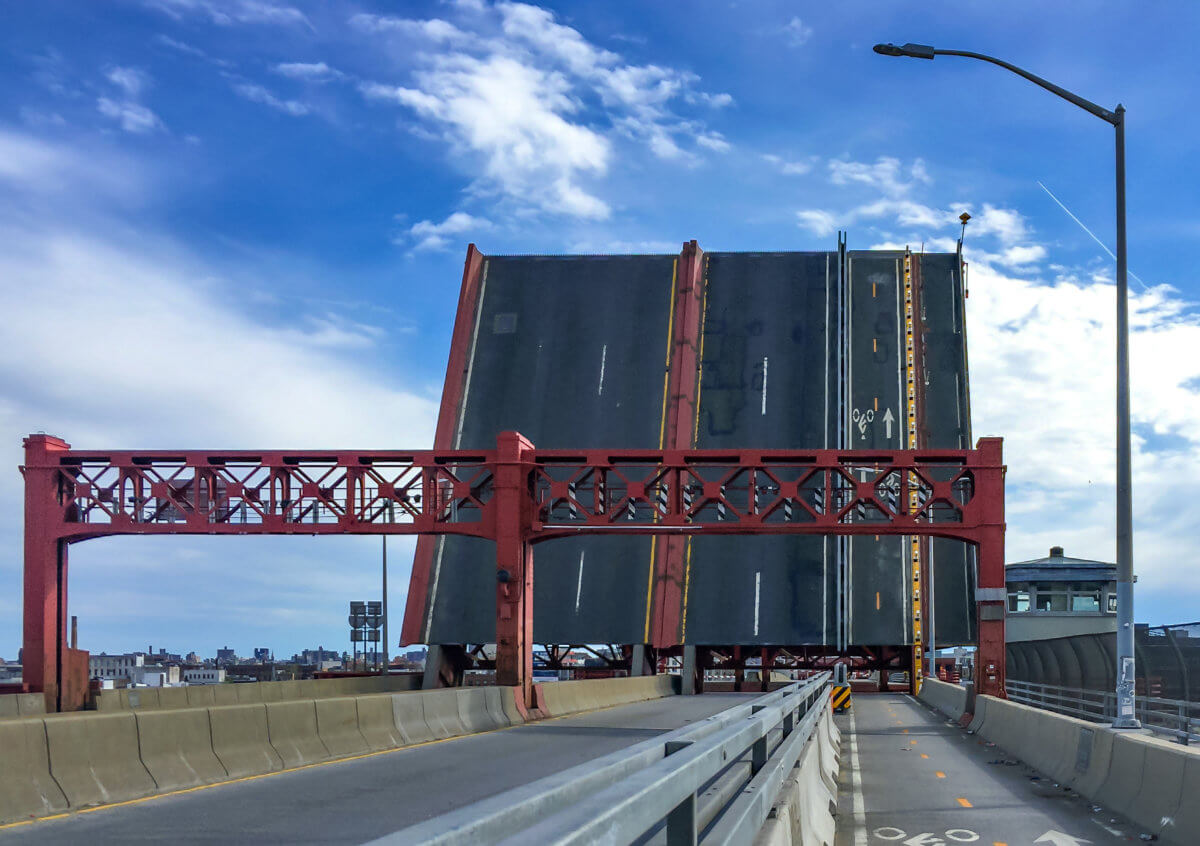
Frederick Zurmuhlen, who was formerly the head of the city’s Public Works Department, is credited with having designed the Pulaski Bridge to carry three lanes of traffic in both directions, as well as a pedestrian sidewalk. But the bascule bridge, built at a cost of over $11.2 million (about $108 million in today’s dollars), would not only carry the roadway over the creek; it would also cross the Long Island Rail Road’s Lower Montauk Branch as well as the Queens entrance to the Queens Midtown Tunnel.
Opened in 1954, the Pulaski Bridge — named for the Polish general, Casimir Pulaski, who fought on the American side in the Revolutionary War as a tribute to the area’s Polish-American heritage — quickly became one of the most vital roadway links in the city.
It was reconstructed in 1991 and 1994 and altered to fit the times; in 2015, the city converted the right lane of its southbound side into a two-way bike path, allowing bicyclists a safer, separate space to travel.
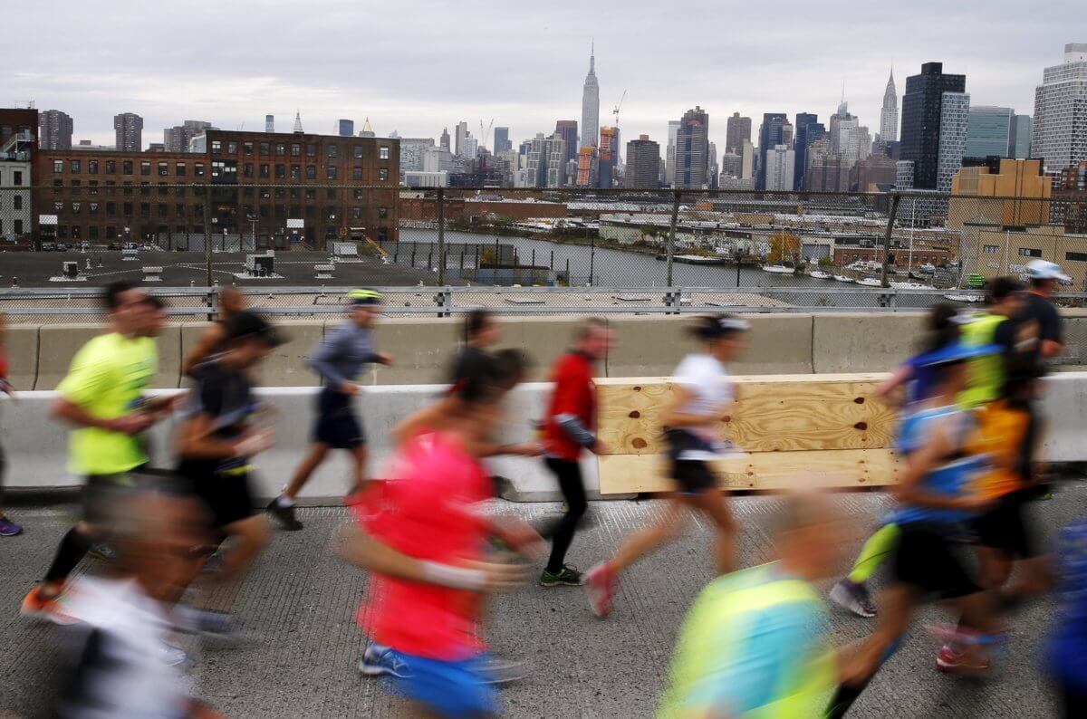
The Pulaski Bridge also has an important place in the sports world; it is mile 13 on the route of the New York City Marathon, serving as the halfway point in the great, five-borough foot race from the Verrazzano Bridge on Staten Island to Tavern on the Green in Manhattan’s Central Park.
As for the gone-and-forgotten Vernon Avenue Bridge, the only remnants of the bridge are concrete walls on either side of the creek where boaters often moor their vessels.
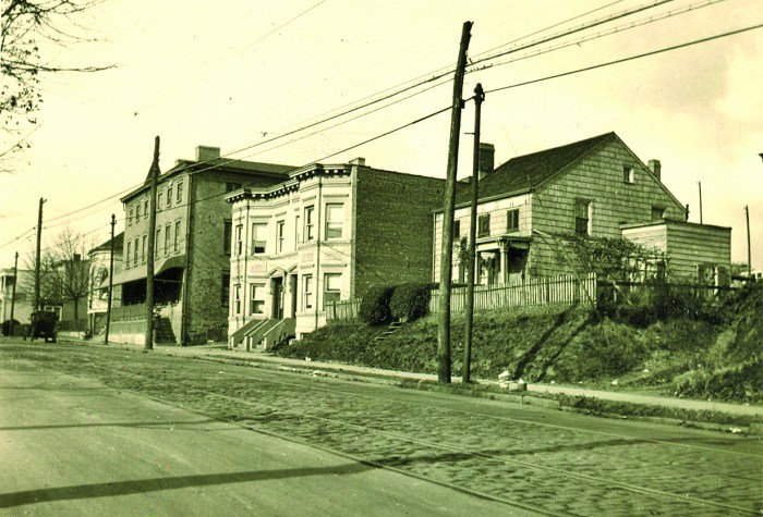
From Greenpoint to Blissville
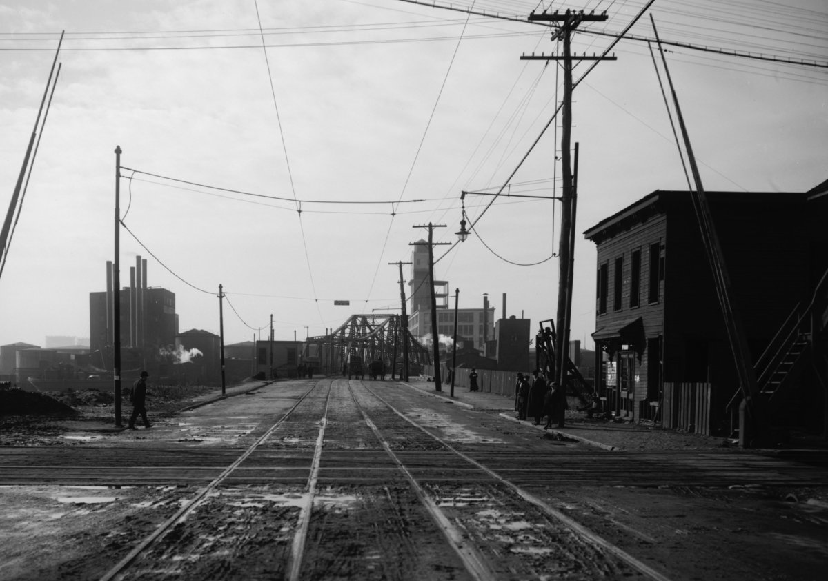
About three-quarters of a mile southeast of the Pulaski Bridge lies the next existing crossing over the Newtown Creek: the Greenpoint Avenue Bridge.
The current bridge, which opened in 1987, is the sixth iteration of a cross-creek span at the location since the 1850s. The original bridge was called the Blissville Bridge, named for the nearby hamlet of Blissville located within Long Island City.
Three other bridges came and went between the 1850s and early 1900s. The fourth bridge was severely damaged by a fire in 1919; that led to the construction of a fifth bridge that opened in 1929, which would remain in heavy use until the mid-1980s.
By about 1984, the Greenpoint Avenue Bridge was opening and closing about 3,000 times a year, according to The New York Times — and the wear-and-tear had taken a toll. In 1984, the state Transportation Department declared that it would build a new $32.2 million replacement drawbridge adjacent to the span.
Opened to traffic in 1987, the double-leaf bascule bridge stretches 1,352 feet from end to end. It was reconstructed in the last decade and, like the Pulaski Bridge, now includes a bike lane.
But though most people know it as the Greenpoint Avenue Bridge, the new space’s official name is the J.J. Byrne Memorial Bridge, named in honor of the former Brooklyn Commissioner of Public Works, who died back in 1930.
Next week, our story about the Bridges of Newtown Creek continues with the Kosciuszko Bridge, the Grand Street Bridge and the Metropolitan Avenue Bridge.
Sources: The New York Times, Brooklyn Relics, Brownstoner, Forgotten New York and the New York City Department of Transportation.
* * *
If you have any remembrances or old photographs of “Our Neighborhood: The Way It Was” that you would like to share with our readers, please write to the Old Timer, c/o Ridgewood Times, 38-15 Bell Blvd., Bayside, NY 11361, or send an email to editorial@ridgewoodtimes.com. Any print photographs mailed to us will be carefully returned to you upon request.