In October 2012, Superstorm Sandy severely impacted many parts of the New York and New Jersey harbor region, which left the United States Army Corps of Engineers (USACE) to come up with plans to manage future potential coastal storm risks.
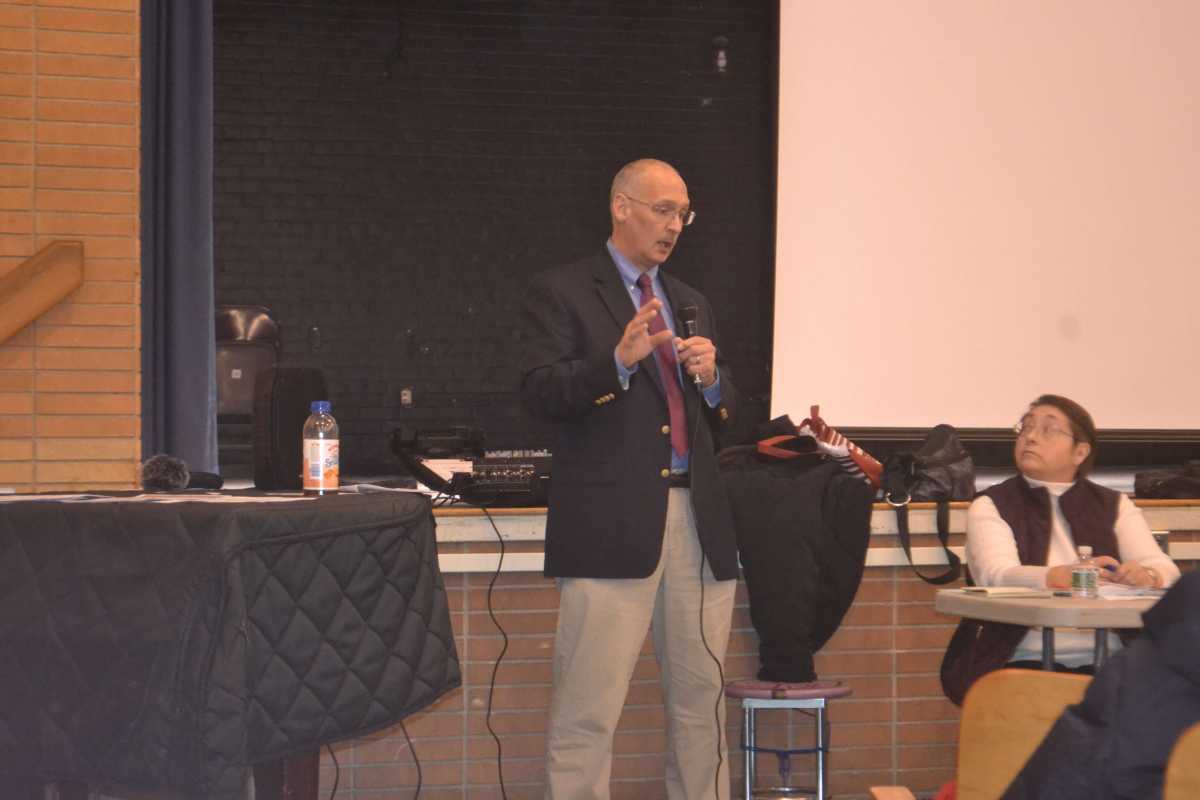
The USACE began a series of feasibility studies in 2015 and presented the findings from the “New York-New Jersey Harbor and Tributaries Coastal Storm Risk Management Interim Report,” at the March 4 Community Board 11 meeting in Bayside.
According to project manager Bryce W. Wisemiller, the focus for affected areas of northeastern Queens is the Throgs Neck Bridge Storm Gate Project, which is included in one of the USACE’s planned alternative defensive measures totaling anywhere from $15 to $120 billion.
Wisemiller said that the entire USACE study focuses on an area about the size of Delaware and includes the following regions:
- All of New York City
- The Hudson River to Troy, New York
- The lower Passaic, Hackensack, Rahway and Raritan rivers
- The upper and lower Bays of New York Harbor
- Newark, Jamaica, Raritan and Sandy Hook Bays
- The Kill Van Kull
- Arthur Kill and East River tidal straits
- The Western Long Island Sound
Wisemiller told the community board members that the USACE in partnership with their sponsors released a 1,600-page interim report last week which contained the economic studies they conducted and people’s comments and concerns from various scoping meetings. The project manager said that there are five feasible alternatives, which the USACE will further study and include in a New York resiliency project released to the public in March 2020.
The ultimate goal is to prevent “loss of human lives and damages to property, with due consideration of the economics of proposed breakwaters, seawalls, dikes, dams, and other structures, warning services, or other measures which might be required,” said the USACE in a statement.
The Throgs Neck Bridge option is part of the most expensive ($118.8 billion) of the alternatives from the USACE, which City Limits said would comprise a “combination levee, berm and surge gate/barrier system connecting to Sandy Hook, New Jersey, across the transect to Breezy Point of Rockaway peninsula.” The plan would include a surge barrier enclosure along the East River and west of the Throgs Neck as well as a “small embayment” near Pelham Bay Park in the Bronx.
Other alternatives include small, mid-sized and regional storm-surge barriers, or taking no action at all.
Upcoming meetings to present the interim findings are scheduled in New York and New Jersey until mid-April. Meetings include 30 minutes to view explanatory posters, a 30-minute presentation and an audience question-and-answer session.
Though there is no session currently scheduled in Queens, Wisemiller said he “fully anticipates” there will be one scheduled for the borough based on requests that the agency receives. In the meantime, he said that the USACE is willing to come to various community meetings to make community presentations.
For more information, read the project fact sheet or email the project manager or NYNJHarbor.TribStudy@usace.army.mil.

