Over the years, the “Our Neighborhood” column in the Ridgewood Times, a sister publication of QNS, has presented in formation regarding the city’s adoption of “the Philadelphia system” in establishing street addresses, which resulted in changes to street names.
The method of numbering houses (100 numbers to a block) was one way of resolving the problem of duplication. In the introduction of a 1934 reference book, “Queens House Numbers in Health Areas,” it is noted that Queens “is really made up of the consolidation of a number of incorporated villages, self communities, each attached to its own street and number system.”
As a result, it was common for neighborhoods in different parts of the borough to have a street by the same name.
According to a 1921 book published by the Queens Chamber of Commerce, there were 23 streets named “Washington” and the same number of others named “Lincoln” within the borough.
Some readers might be surprised to know that there once was a Wyckoff Avenue in the Ozone Park/Richmond Hill area (it subsequently became 104th Street).
Some names may have been changed for other reasons (such as World War I and feelings toward Germany, which led to changing Hamburg Avenue to Wilson Avenue).
The Philadelphia system also determined whether a roadway should be called a street or an avenue. The terms avenue, road and drive would be used for roadways that run east/west; street, place and lane would be used for roadways that north/south.
Under the system, boulevards could run in any direction.
It is not lost on The Old Timer that Fresh Pond Road in Ridgewood runs north/south, contrary to the system. Perhaps readers can point out some exceptions of their own.
Here are some examples from several different local neighborhoods that, we hope, will prove interesting to readers.
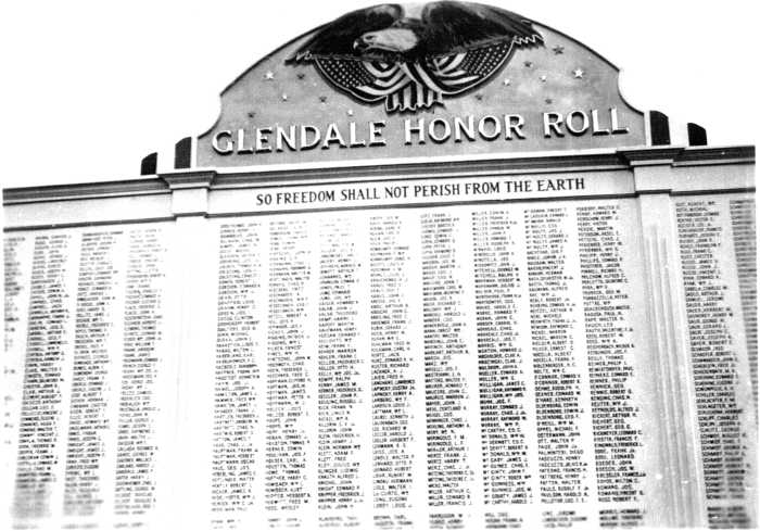
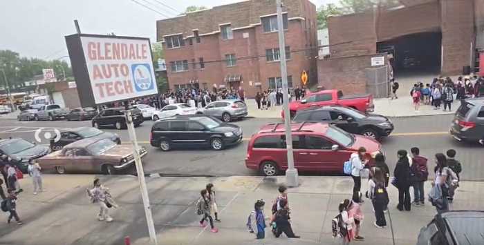
Glendale
Alpha Place became 67th Place.
Backus Street became 65th Place.
Barbara Place became 82nd Street.
Broad Street became 65th Street.
Brush Street became 79th Street.
Clinton Avenue became 73rd Place.
DeBoo Place became 68th Street.
Dill Place became 61st Street
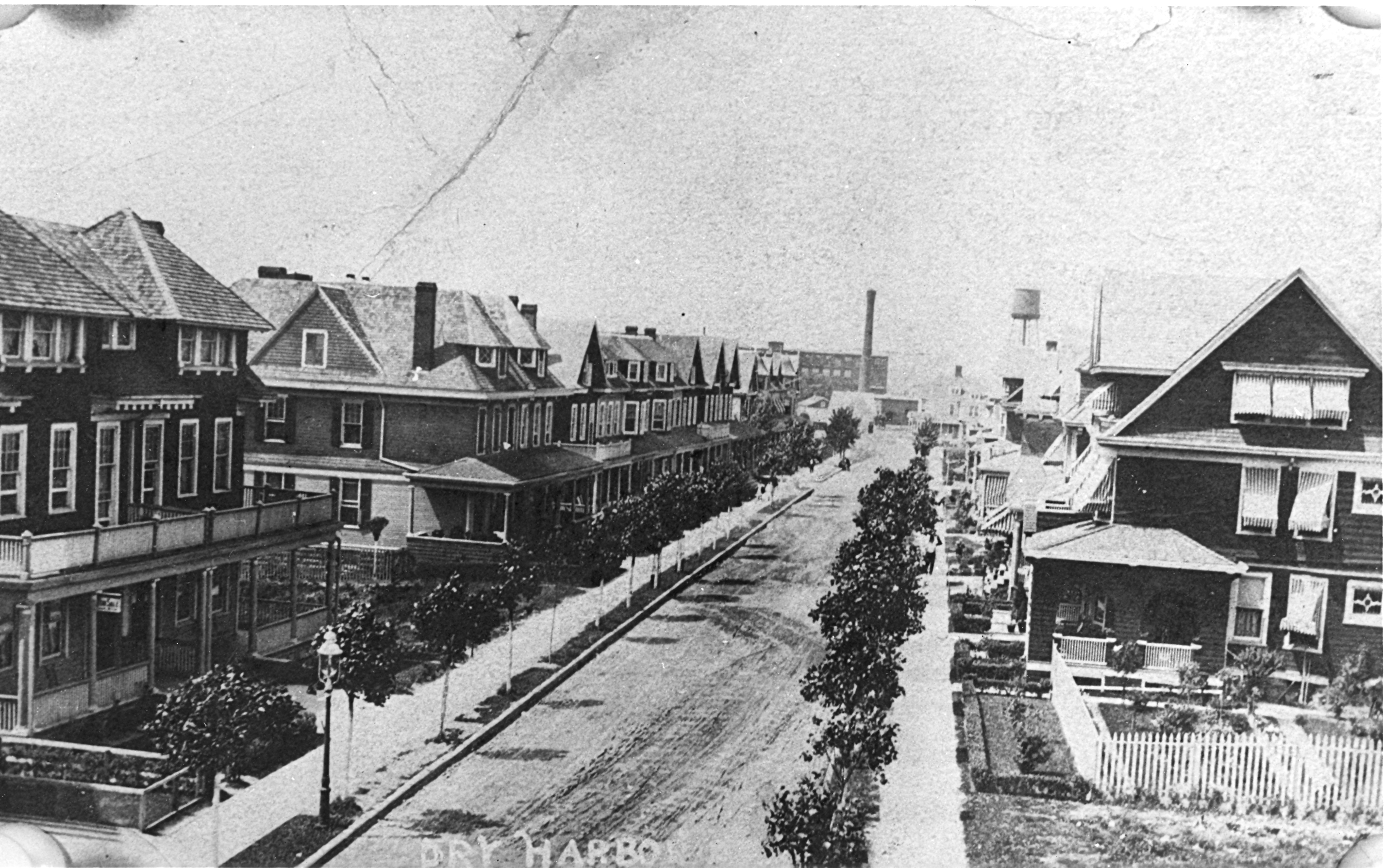
Dry Harbor Road became 81st Street.
Edison Place became 71st Place.
Ella Place/Street became 85th Street.
Fremont Place became 64th Place.
Ford Avenue became 79th Place.
Fosdick Avenue became 69th Street.
Gamma Place became 66th Place.
Hanna Street became 88th Street.
Haverkamp Place/Street became 71st Street.
Henrietta Street became Doran Avenue.
Howard Place became 64th Place.
Katie Place became 73rd Avenue.
Lafayette Avenue/Street became 69th Place.
Tilden Place/Street became 75th Avenue.
Tompkins Avenue became 70th Street.
Walnut Street became 69th Street.
Webster Avenue became 71st Street.
Maspeth
Baltic Street became 60th Road.
Berlin Avenue/Street became 50th Street.
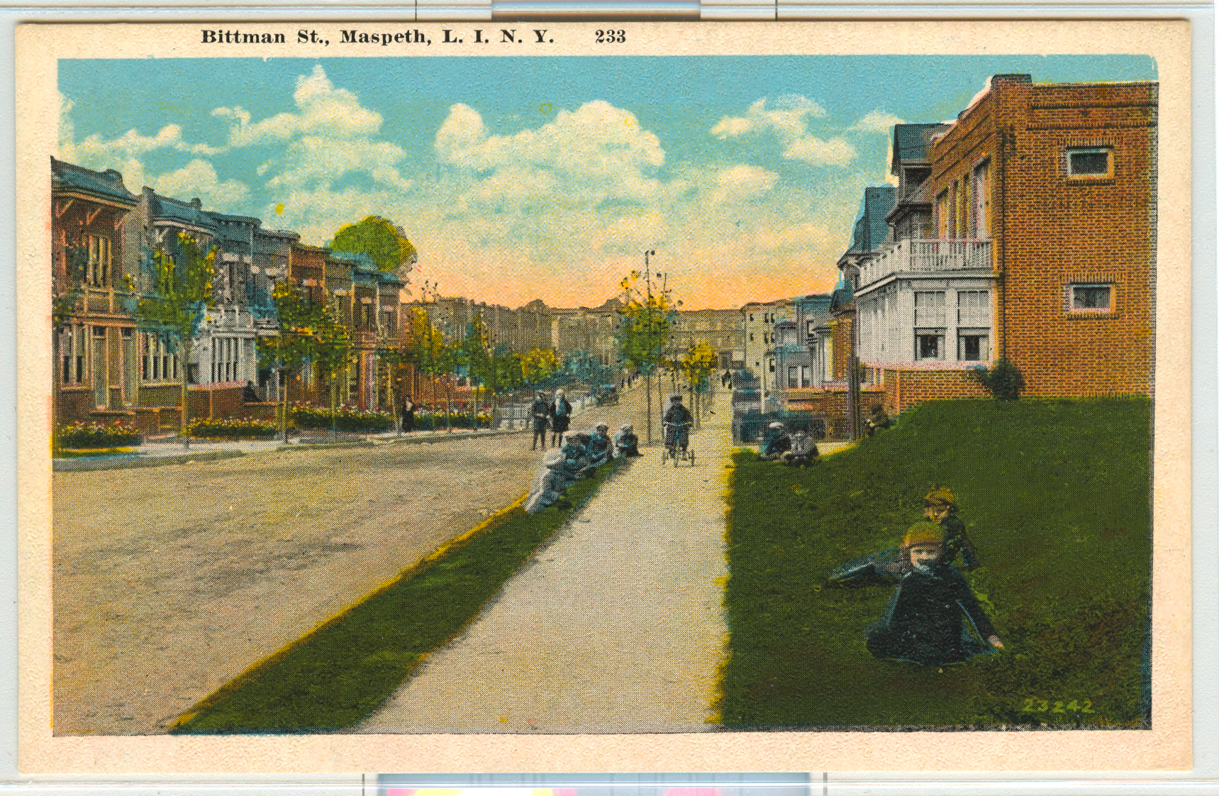
Bittman Street became 69th Lane.
Broad Street became 59th Street.
Bullock Place became 63rd Place.
Catherine Avenue/Street became 71st Street.
Church Street became 57th Drive.
Clinton Place became 56th Avenue.
Columbine Avenue became 55th Avenue.
Dorothy Place became 59th Road.
Edward Street became 58th Drive.
Elsie Place became 51st Road.
Emma Street became 54th Street.
Eva Place became 60th Place/Street.
Faulkner Street became 54th Avenue.
Fremont Street became 73rd Place.
Funston Place became 65th Place.
Gilbert Street became 48th Street.
Hawthorne Avenue became 53rd Avenue.
Hebberd place became 59th Avenue.
Hedwig Place/Street became 63rd Street.
Henry Street became 66th Road.
High Street became 58th Street.
Irene Place became 61st Drive.
James Street became 59th Avenue.
Jasmine Street became 62nd Street.
John Street became 60th Street.
Tratwine Street became 52nd Drive.
Willow Avenue became 64th Street.
Zeidler Avenue/Street became 55th Street.
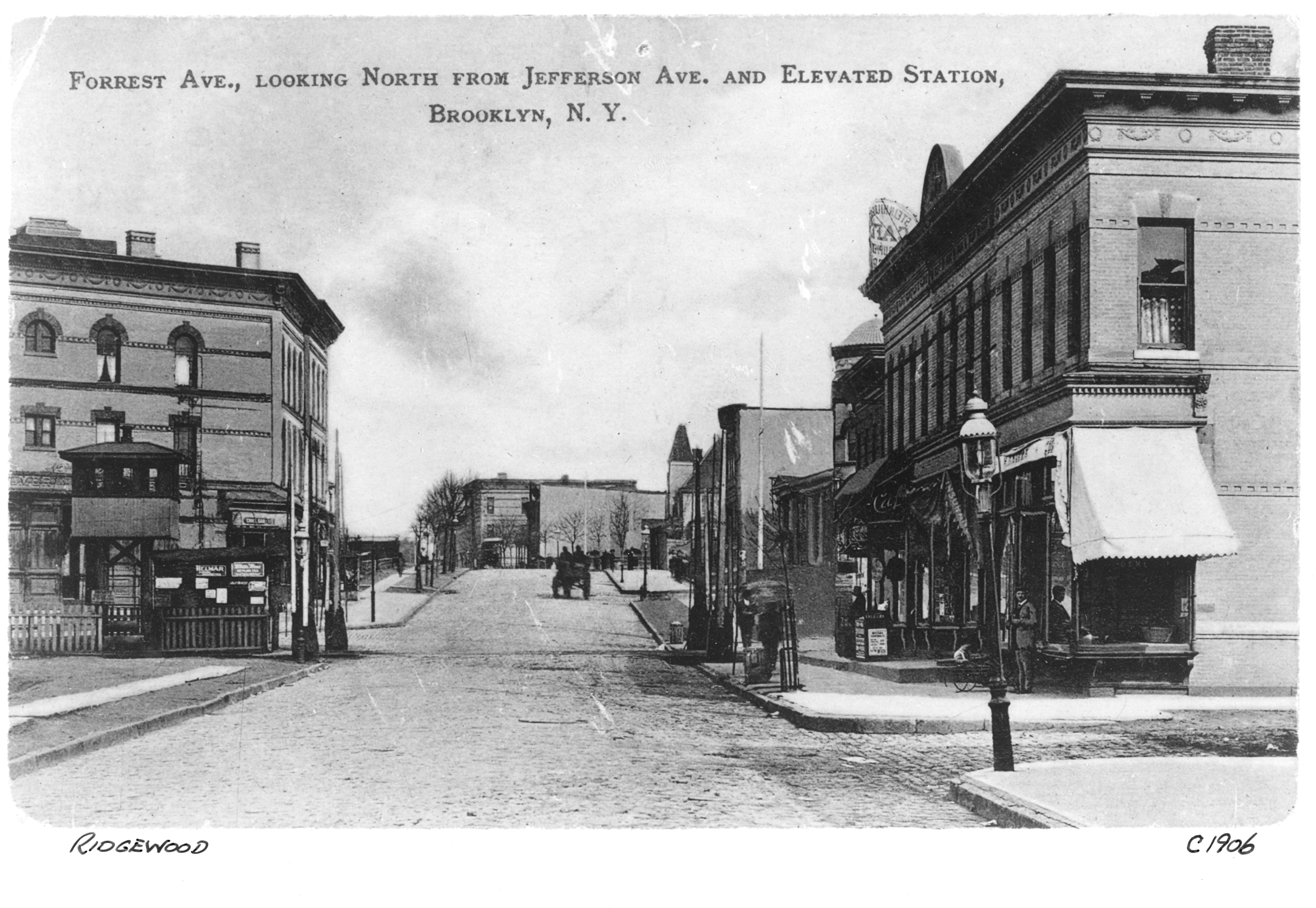
Ridgewood
Anthon Avenue/Street became 60th Street.
Buchman Avenue became 60th Lane.
Duryea’s Street became Hancock Street.
Elm Avenue became Catalpa Avenue.
Foxall Street became 69th Avenue.
Fremont Street became 65th Street.
Halsey Street became Silver Street, now 68th Road.
Halleck Avenue became 70th Avenue.
Howard Street became 65th Street.
Hancock Street became Hughes Street, now 68th Avenue.
Ivy Street became Madison Avenue/Street.
Jefferson Avenue became Cornelia Street, now 67th Avenue.
Kossuth Place became Cypress Hills Street.
Slocum Street became 64th Place.
Van Cortlandt Avenue became 71st Avenue.
Voorhis Street became Decatur Street.
Woodhaven
Clinton Place became 90th Avenue.
Diamond Avenue/Street became 98th Street.
Elmwood Avenue/Street became 86th Avenue.
Emma Place became 86th Avenue.
Howard Avenue/Street became 86th Road.
Johnson Avenue/Street became 77th Street.
Truant Avenue/Street became 74th Street.
Yaphank Avenue/Street became 88th Road.

We owe a word of thanks to George Miller, historian of the Greater Ridgewood Historical Society, for his assistance in making the above list possible.
It is by no means complete, but we thought that readers might enjoy seeing some of the names formerly used for a sampling of local streets.
Reprinted from the Oct. 8, 2009 issue of the Ridgewood Times. If you have any remembrances, comments or historic photos that you would like to share with our readers, write to editorial[@]qns.com (Subject: Our Neighborhood-The Way it Was) or send a letter to The Old Timer, c/o Ridgewood Times, 38-15 Bell Blvd., Bayside, NY 11361. All mailed pictures will be carefully returned to you.