Hundreds of flood-prone north Queens homeowners got the answer to their prayers at a Flushing seminary recently when the city’s newest plan to end flooding in the Mitchell-Linden - Whitestone area was unveiled.
The three-phase project is expected to take six years and cost $60 to $70 million. Phase one would be construction of a storm sewer main big enough to drive a car through, more than a mile under the northbound Whitestone Expressway service road.
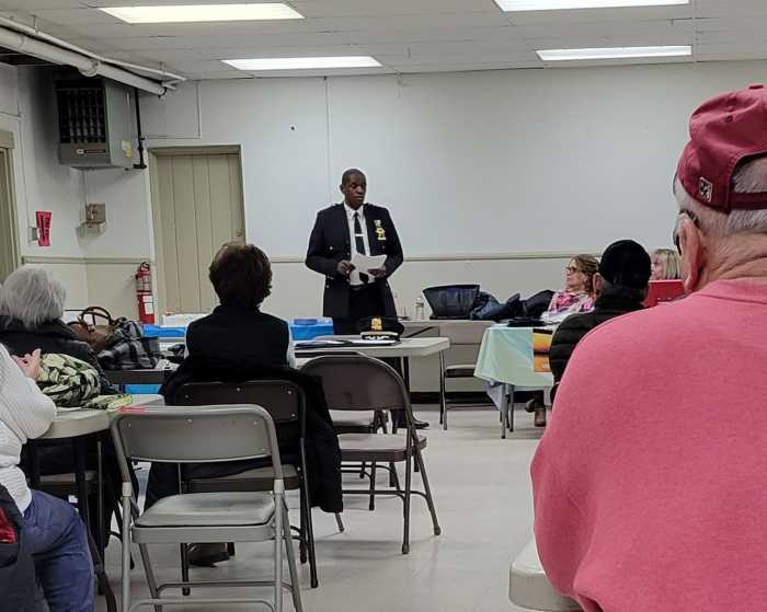
The meeting between local residents, community activists and officials was called by Councilmember John Liu, at the St. Alphonsus Formation residence at 22nd Avenue and Parsons Boulevard on Wednesday, January 30.
There, Liu introduced the team of top officials of the city’s Department of Environmental Protection (DEP), headed by Commissioner Emily Lloyd, who apologized for previous failures to relieve flood pockets of north Flushing and Whitestone.
“We were wrong in trying to relieve the flooding with seepage basins,” Lloyd admitted. “I am pleased to announce that the studies are done and we have a plan that works,” she said.
The area along the Whitestone Expressway presented especially tough problems, Lloyd explained, due to soil conditions, topology and the expressway itself. “The ‘blue belt’ idea of draining water into the wetlands between Flushing and College Point, to drain naturally just wouldn’t get it done,” she conceded. “It became clear a direct outlet to open water was needed.”
Because the drainage system needs to work by gravity alone, the only way to solve the 50-year-old problem is “from the bottom up” explained Deputy Commissioner Jim Roberts, who wielded a laser pointer to spotlight some of the trickier parts. “This is one of the most difficult areas in the city to drain,” he said.
The one route found which could solve the flooding by gravity alone is underneath the northbound service road of the Whitestone Expressway, before turning north at College Point Boulevard to drain into Flushing Creek.
So the first phase is a huge drain pipe “nine feet by seven feet and over a mile long” according to DEP, which would have to be supported by pilings and cradles, built at the bottom of a trench along the route.
According to a DEP engineer, “The trenching and backfilling will cause significant disruption along the route, but we’re hoping that new technologies will make it less problematic than people might expect.”
Lloyd made an encouraging revelation that there was only one commercial property that might overlap part of the construction route, which might require negotiation of an “easement.”
There was disappointment among some homeowners, who have taken to building sandbag dikes in their driveways, only to have them topped by the wake of cars barging through flooded streets.
They were told that starting on their streets would be futile. “We have to give the water someplace to go,” Roberts declared.
The Whitestone Expressway itself, which has its own, state-owned storm drain system presents a barrier to a workable sewer route, as does an existing “interceptor line,” to the Tallman Island treatment plant in College Point.
“We tapped into the state system where we could along the service road,” Lloyd said, adding, “but that system was only designed to handle highway drainage, so it can’t provide a solution.” The largest drain pipe under the Whitestone Expressway is only 18 inches in diameter, according to DEP.
The engineering plan now goes to the Department of Design and Construction, where the actual specifications and blueprints will be worked out.
According to Marylyn Bitterman, District Manager of Community Board 7, which covers the area, “We plan to get the appropriate people to our June meeting, to update the full board on the progress of the project.”
Things to do in Queens

Tomorrow, 6:30 pm


Tomorrow, 9 pm

July 5, noon

July 5, 6 pm


Latest News
 Queens Council Members celebrate $2.5 million in funding for AAPI curriculum
 Queensboro Dance Festival continues summer tour with lineup of July performances
 NYC Mayor’s Race: Billionaire hedge fund manager Bill Ackman backs Mayor Adams, urges Cuomo to bow out of general
 Far Rockaway’s St. John’s Episcopal Hospital awarded national certification for laboratory excellence
 CUNY dancers bring African diasporic traditions to Queensboro Dance Festival
Dining & Nightlife
 Kids eat free at Queens Applebee’s this July 4th weekend
 Akito Japanese Cuisine brings fresh flavors to Bell Boulevard in Bayside
 Tech meets tradition at Dim Sum Bloom’s new Bayside location
 Bayside cool: Momo Ashi’s bubble tea and charm keep customers coming back
 Free Shakespeare in the Park performance coming to Queens Night Market this Saturday
Entertainment
- Queensboro Dance Festival continues summer tour with lineup of July performances
- CUNY dancers bring African diasporic traditions to Queensboro Dance Festival
 Flushing Town Hall’s summer lineup brings jazz to parks and play to the stage
 Astoria Cook Club brings neighbors together through monthly potluck meetups
 Summer events return to Crocheron Park in Bayside
Police & Fire
 Woman attacked and strangled in anti-LGBTQ assault in Far Rockaway: NYPD
 Forest Hills home invasion leaves man hospitalized after brutal assault and robbery: NYPD
 California man found shot to death in car near Aqueduct Racetrack on Sunday: NYPD
 Vandal caught red-handed desecrating Holy Family Church statue in Fresh Meadows: NYPD
 Ridgewood man charged with murder in stabbing outside neighborhood bar: NYPD
More from Around New York