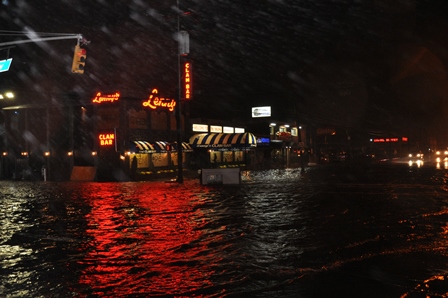
Preliminary flood insurance rate maps (FIRMs) were released Thursday as the next step in FEMA’s coastal Flood Insurance Study.
Insurance rates could go up by hundreds of dollars for homeowners in flood-prone areas, specifically those in south Queens affected by Sandy. Maps will go into effect in 2015.
Following this release, a 90-day appeal and comment period will be opened in spring 2014. Those interested will be able to submit comments to the city online.
Once the appeal is over and all issues are resolved, FEMA will issue a Letter of Final Determination (LFD) to the city that will initiate a six-month adoption period before the maps become effective.
The city has additionally signed into law revised building codes which require standards reflect new and substantially improved structures as detailed in the preliminary FIRMs.
For more information on maps, click here.
RECOMMENDED STORIES


